


-
 Where are we?
-
 Contact

Yacimiento Arqueológico "Castillo de Doña Blanca" 
-
Description

-
Gallery

-
Map

Description


VISIT HOURS
Wednesday to Sunday: 10:00 to 14:00 (except holidays).
FREE
Doña Blanca, Andalusian Net of Archaeological Sites
Andalusian Net of Archaeological Sites
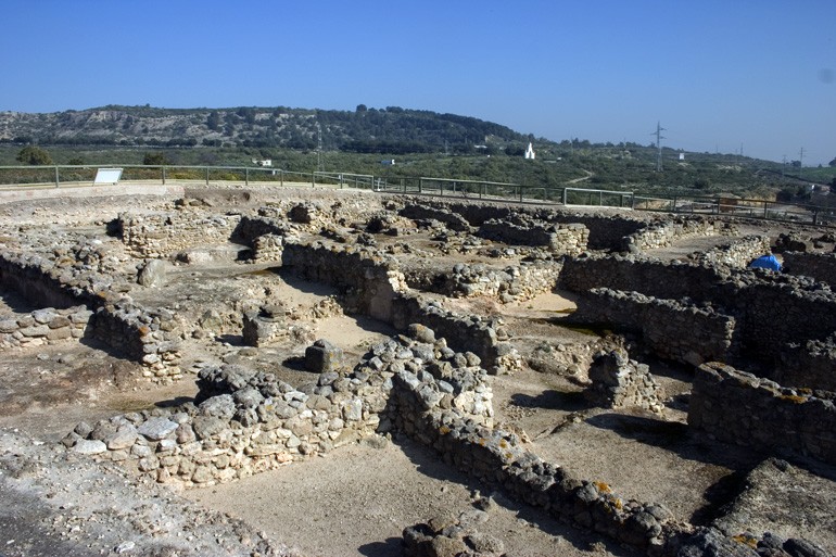
The archaeological site of Doña Blanca Castle is of a great importance in the peninsular and Mediterranean historical investigation scene. Together with its spectacular conservation degree, the site holds the keys to the correct interpretation of the difficult Phoenician presence in the Bay of Cádiz, its relationship with the native population and the related chronological aspects.
Virtual Tour
The following link can you make the recommended Virtual Tour of Archaeological Site Castillo de Doña Blanca
Location
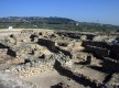
The Castle of Doña Blanca is located between the San Cristobal’s Sierra (North) and a great marshes and salt marshes area (South) formed by water deposits from the Guadalete River. Formerly, this plain was part of the Bay of Cádiz, as the sea reached the place where the first settlement was located.
The shape of the site is almost a rectangular plateau, with an extension of 6,5 hectares and 31 m. above the sea level. Its relief is totally artificial and it was formed by superimpositions of deposits and constructions that have been accumulated through the years, reaching in some levels 9 m. of archaeological stratums.
The chronological sequence
The oldest remains found in the site are from the late Copper Age, at the end of the 3rd millennium BC. From this period, through excavations, some cabins that are adapted to the land’s typology have been found.
Later on the site was abandoned –the site was not inhabited- until the middle of the 8th century BC, when the site was again inhabited, a few years later the first wall was built.
From the 8th century BC the site was inhabited until the Romans invaded the Iberian Peninsula during the second Punic War, at the end of the 3rd century BC. During these five centuries, the city went through a great urban remodeling and the construction of two more walls. The site was again abandoned until the Arab Middle Ages, when an Almohad farmhouse was established.
In the 16th century a Greek cross plant chapel was built, whose tower is still preserved, and is popularly known as the Tower or Castle of Doña Blanca, as the popular tradition identifies it as the place where Doña Blanca de Borbón, wife of Pedro I, was imprisoned.
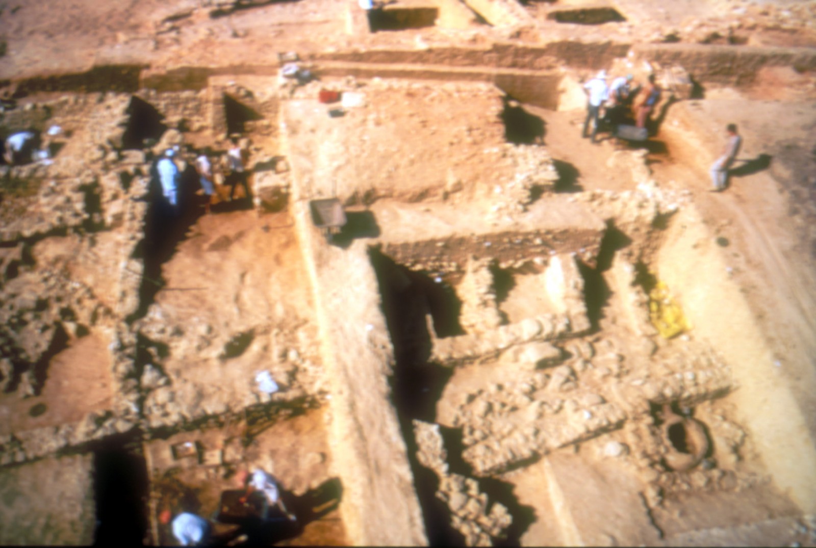
Town Planning
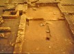
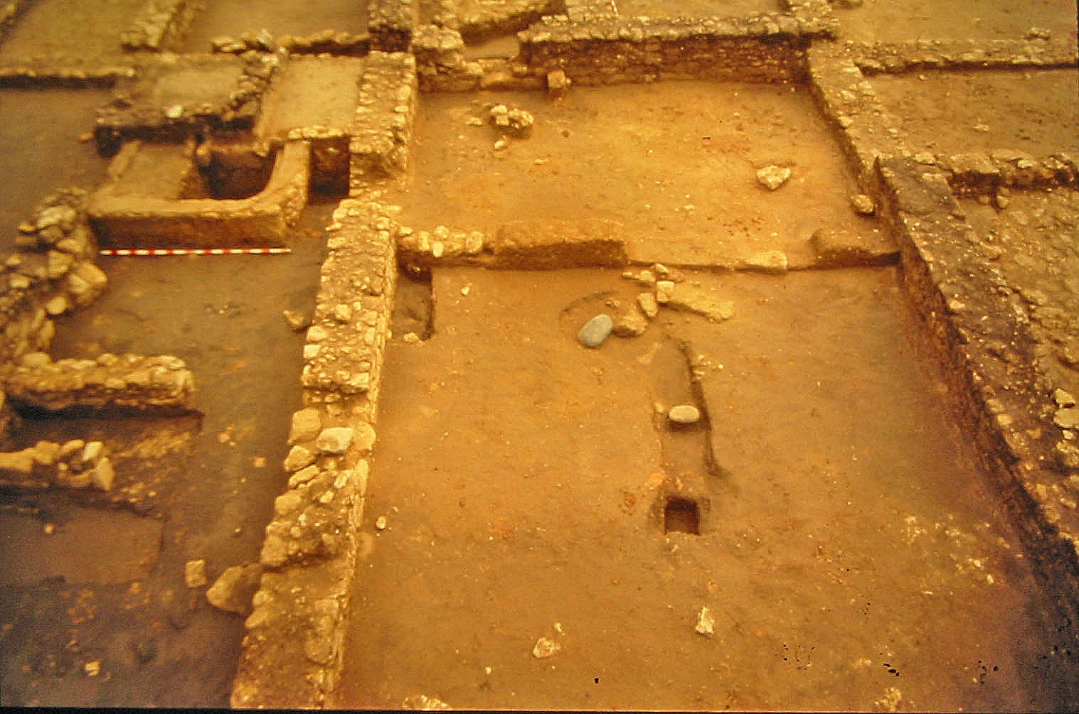
The building remains of the 8th century BC. are generally covered by a thick layer of accumulated sediments for earlier periods, therefore it is necessary to excavate between 7 and 9 meters in order to find a remain. Although, outside the old city, a great area with no buildings placed on top has been discovered, this allowed the excavation and discovery of a great number of houses from this period. The houses have artificial terraces, built due to the land’s slope. They have 3 or 4 square rooms made of walls of skirting board of masonry and adobe, covered by red pressed clay and the flat or one gable roof, formed of wooden beams and vegetal covering. Most of the houses had a stove, for bread making, of clay structure with a base of approximately 1 meter in diameter. These building characteristics were still in force in the following periods until the site was abandoned in the 3rd century BC.
The excavations allowed to document other urban and industrial aspects related to the city in the 4th and 3rd centuries BC., such as the existence of big streets –up to 4 meters- and open spaces or squares or the presence of pools were the grape juice coming from two other pools were the grape was pressed was kept.
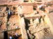
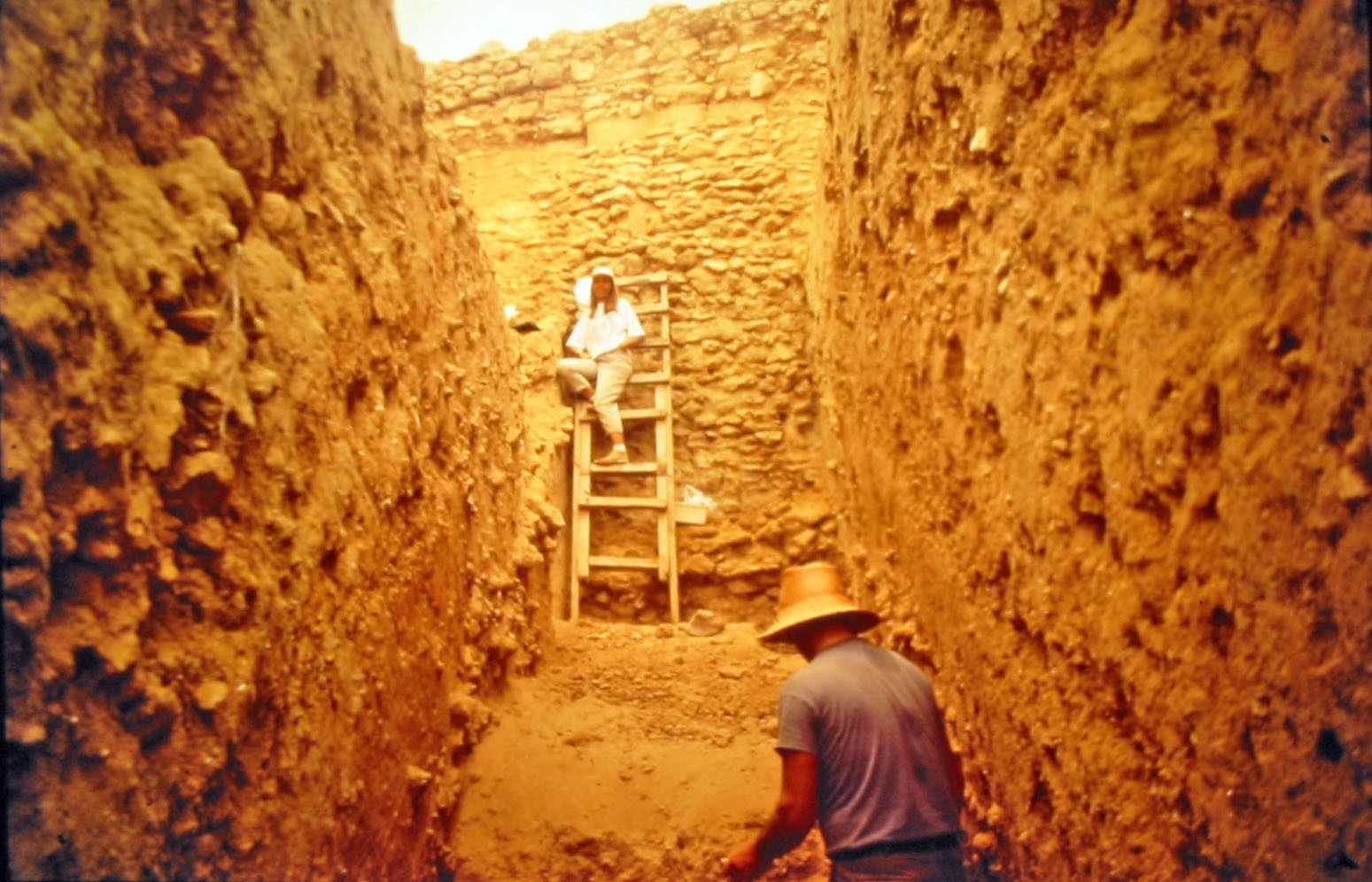
Defensive System
From the 8th century BC, the city had a great wall; only a part of it has been preserved. It begins directly from the natural land and it is built with irregular rough stones tied with red clay; in the excavated areas there is 3 meters high just in front of the wall where a V shaped fosse with 20 meters wide and 4 meters deep was built. This wall was used until the 4th century BC. In the 5th century BC, a new wall was built; this wall partially reused the old one. Finally in the 4th and 3rd centuries, the definitive wall was built.
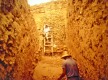
Necropolis of the San Cristóbal’s Sierra
To the northern part of the site, at the other side of the road to El Portal, is where the necropolis is located. An excavation of 20 meters in diameter and a maximum high of 1.80 meters was made. The central area was occupied by the ustrinum, the place where the corpses were cremated. This area was surrounded by 63 burials, some of them were only hollows excavated in the land, and some of them were only funerary urn containing ashes.

Gallery
Map
Latitude:
36.628437
- Longitude: -6.161864
Share this page


