


-
 Where are we?
-
 Contact

Port-Vendres

-
Description

-
Gallery

-
General information

-
Map


Description


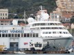
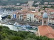
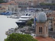
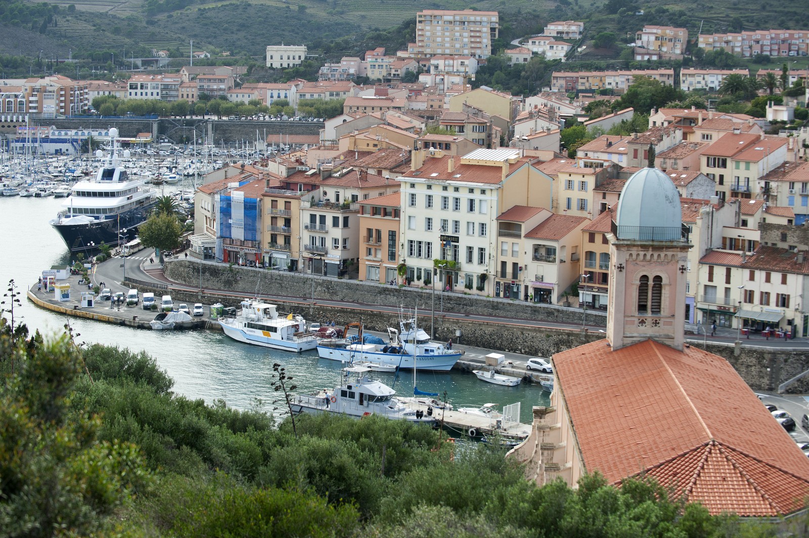
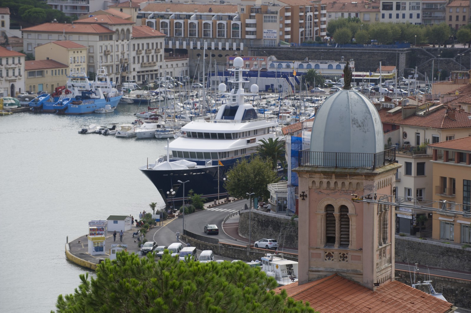
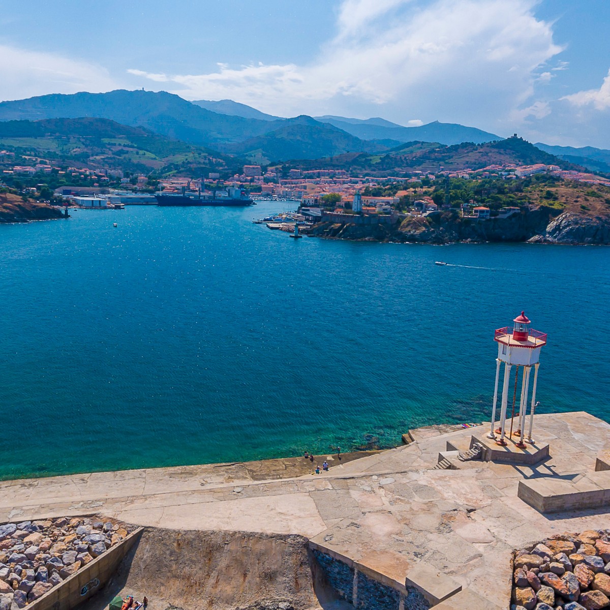
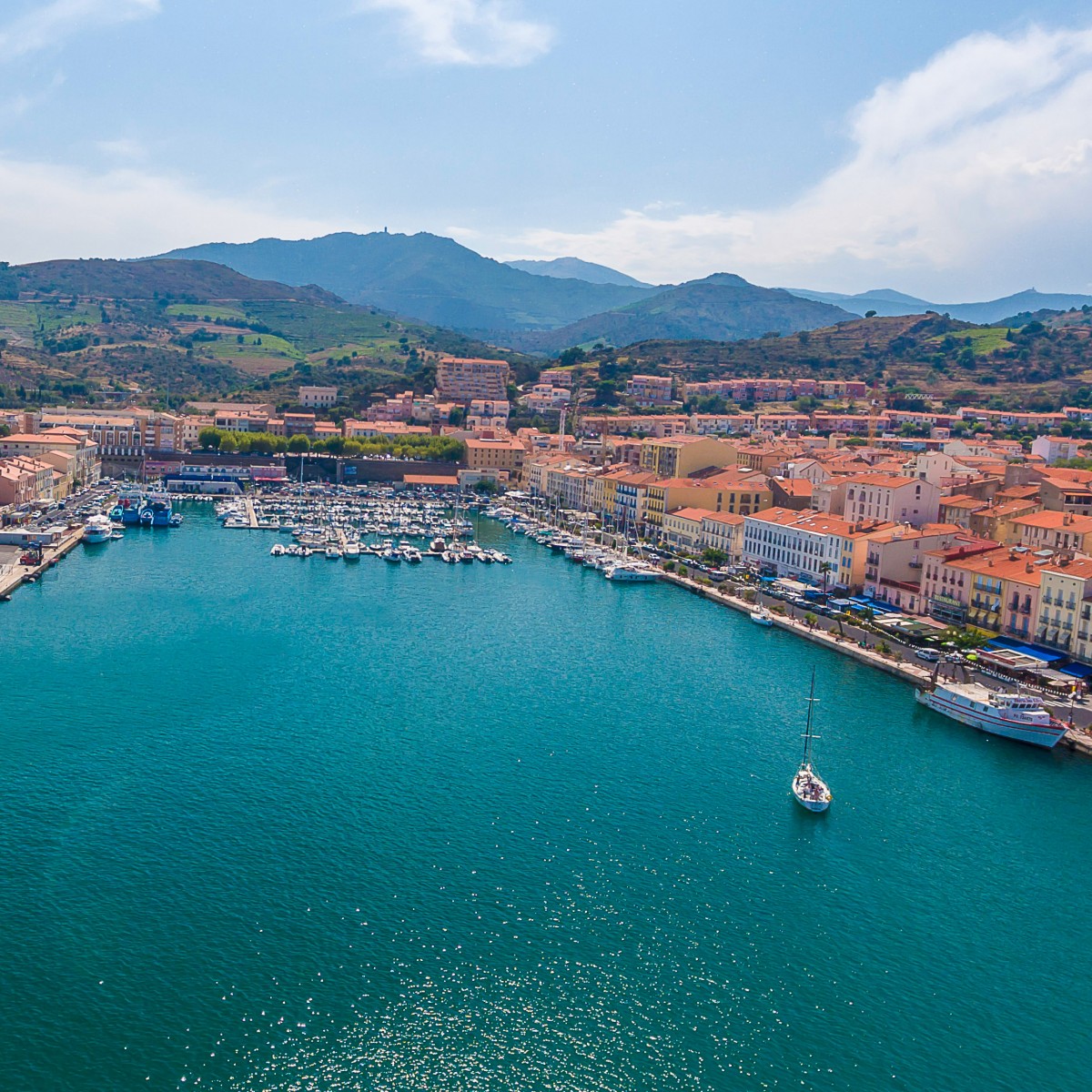
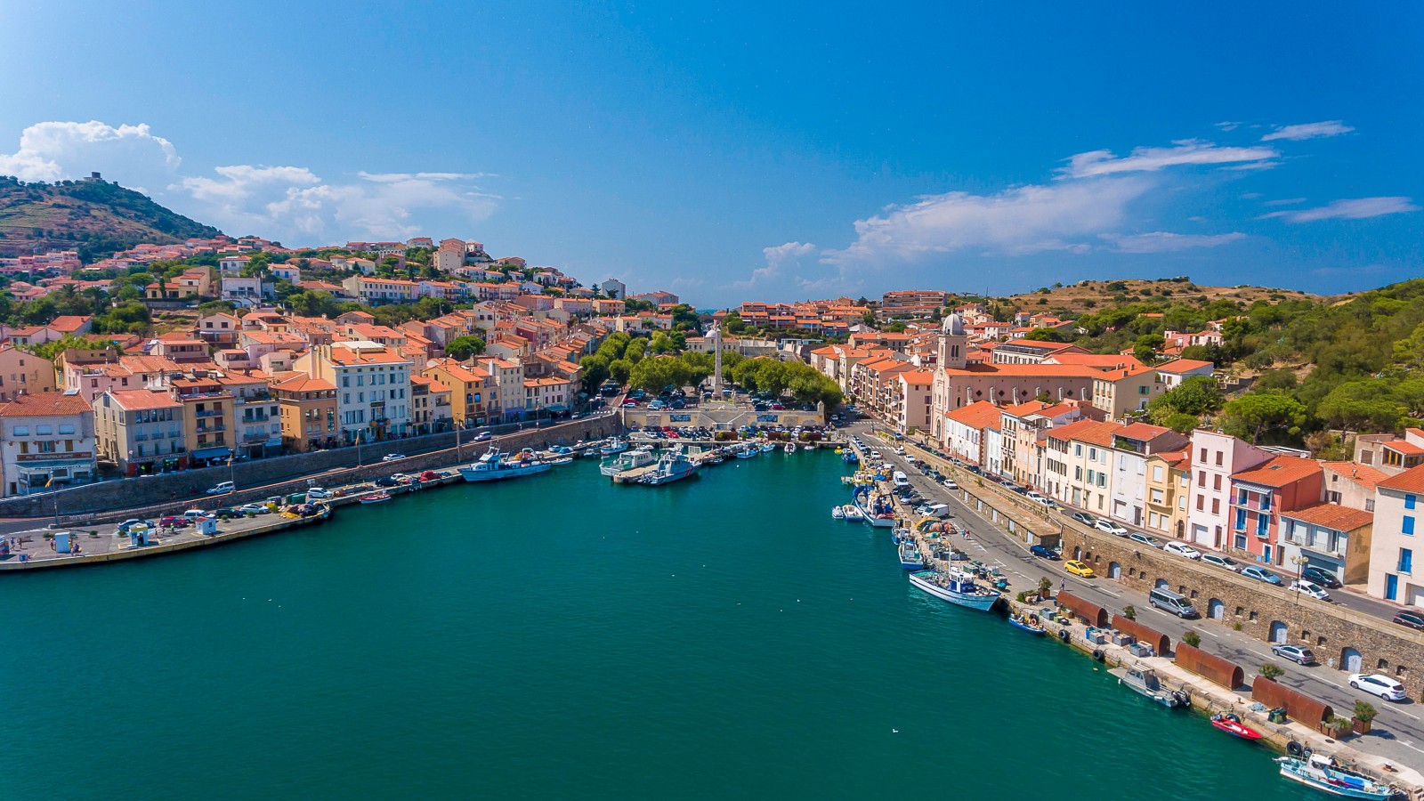
A traditional Catalan fortified town, Port-Vendres is lively all year round because of its role as a port.
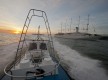
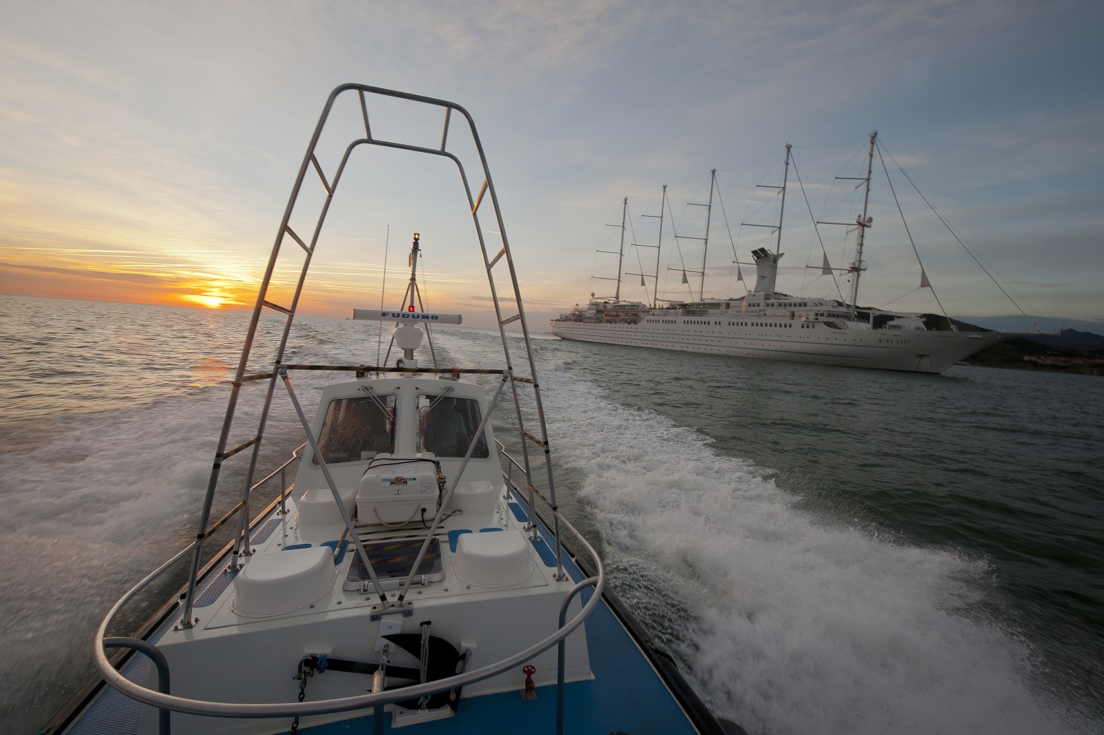
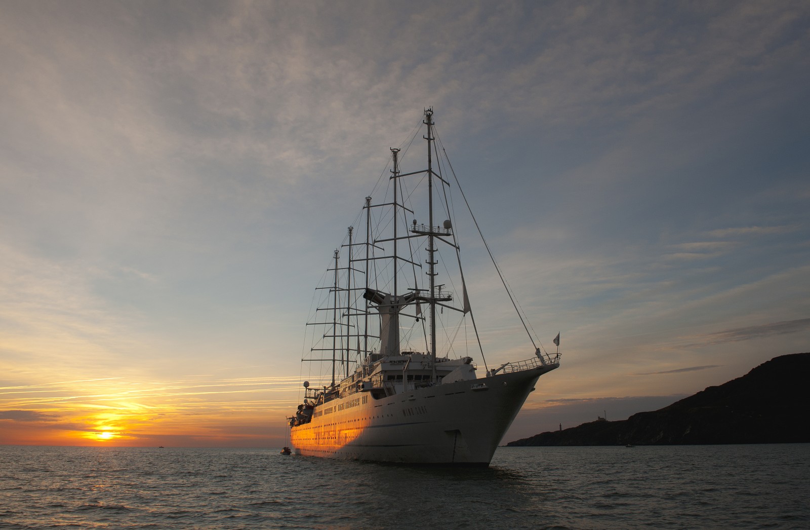
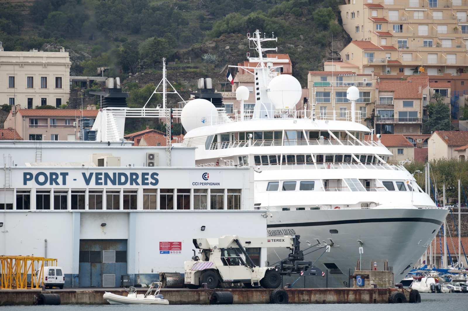
The marina of Port-Vendres is very popular with deep-sea sailors. It is mainland France a?s closest port to the countries of North Africa and the Balearic Islands and is a popular port of call for cruise ships.
While you're here, explore the marine reserve of the Côte Vermeille and its undersea treasures, ramble around Paulilles cove, go out sea fishing, hire a boat or fish from the promenade: all the pleasures of a seaside resort are on hand.
Gallery
General information
Security
Maritime weather (tel): 3250 et 3201
Maritime affairs (tel): 04 68 98 34 80
Police (tel): 04 68 82 00 60
Rescue (tel): Crossmed VHF 16 et 04 94
VHF Canal: 9
Video-surveillance (tel): Néant
Guardian (tel): Néant
Maximum Draught: 8.50m
Maximum Length: 155.00m
Number of basins: 1
Open water docks: 67
Open water pontoons: 200
Banyuls-sur-mer 4 miles
St Cyprien 7 miles
Port la Nouvellle 30 miles
Cap d'Adge 49 miles
Approach (day and night)
de jour - par forts vents de NE à E houle et ressac très forts aux abords du Cap Béar. Accès du port difficile avant l'abri du Môle. Accès facile par temps maniable, houle brisante par vents de NW (ou tramontane) et du SW (ou d'aval), les plus fréquents à NE. Accès de nuit facile.
Approche de nuit
Feux d'entrée : Passe d'entrée : Môle abri (42°31',4N - 003°07',0E)Oc(3)R.12s11M ;Fort du Fanal (42°31',3N - 003°06',8E)Oc.G4s8M ; Balise du fort de Fanal (SE)Q.G.7M; Anse Gerbal (42°31,2 N-003°06,7E)Iso G.4s;Pointe des pilotes Fi.G4s, Pointe de la presque Ile FI.R4s
Alignement d'accès : 2 feux sc.b.à 198,5° sect.intense de 3° (196°-199°), 18M.
Tous les navires de plus de 45 m sont soumis au pilotage.
SHOM map: 7434 - INT 3188
Navicarte: 511
Technical areas
Travelift: yes
Travelift max. weight: 160t
Crane(s): no
On port handling: yes
Out port handling: no
Wedge launch: no
Storage ashore: yes
Refueling station
Gasoil: no
SP98: no
SP95: no
GPL: no
Services to boaters
Wi-Fi access: yes
Wi-Fi rates: WIFI gratuit
Medical facilities: yes
Victualling: yes
Marine hardware: yes
Accommodation: yes
Car Park: yes
Showers: yes
WC: yes
Laundries: yes
Disabled access: yes
Washing-up basin: yes
Electricity on pontoons: yes
Electricity on docks: yes
Water on pontoons: yes
Water on docks: yes
Map
Share this page


